

Planning Site Characterization with a Conceptual Site Model
How an evolving conceptual site model guides three-dimensional site investigation and helps target sampling to sources, migration pathways, and potential receptors.
Build and Refine the
Use a working model to guide investigation
A is an evidence-based working explanation of contaminant release, location, movement, and possible effects on people or environmental resources. It helps investigators decide what to examine, where to sample, and at what depths. Because evidence can change the explanation, the model is refined as the investigation proceeds.
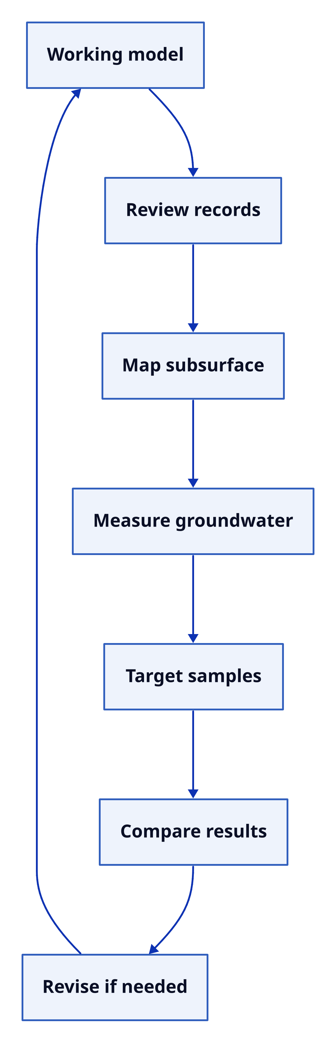
Build a three-dimensional understanding of the source area, subsurface materials, groundwater system, contaminant distribution, and possible migration pathways. A typical investigation reviews site history, maps, earlier studies, regional geology, water-well records, and nearby surface water. Investigators then describe subsurface materials using appropriate tools, measure groundwater conditions with suitably located and screened wells or piezometers, and collect relevant soil, soil-gas, or groundwater samples. Locations and depths should be selected to test the model and identify sources, pathways, and potential receptors.
Test expectations and adapt
Consider a release above layers of interbedded sand and clay. Dissolved contaminants may move laterally through sand, accumulate above clay, or pass through gaps in it. Shallow-soil samples could miss a deeper plume. Wells that combine water from separate layers could obscure flow patterns. Identifying the layering therefore matters when choosing sampling depths and well locations.
Compare observations and analytical results with what the model led investigators to expect. If evidence reveals an unrecognized layer, a different flow direction, or an unexpected contaminant zone, revise the model and adjust the investigation. The model is not a fixed map or a substitute for evidence: it is a way to organize questions, target observations, and respond to what the site actually shows.
Text description
An evolving investigation A downward process diagram: Working model leads to reviewing records, mapping subsurface materials, measuring groundwater, targeting samples, and comparing results. The process then leads to revision when needed, which feeds back to the working model. Layout: down. Working model Review records Map subsurface Measure groundwater Target samples Compare results Revise if needed Working model → Review records Review records → Map subsurface Map subsurface → Measure groundwater Measure groundwater → Target samples Target samples → Compare results Compare results → Revise if needed Revise if needed → Working model